GPS Map Camera: Perfect for Travel Memories
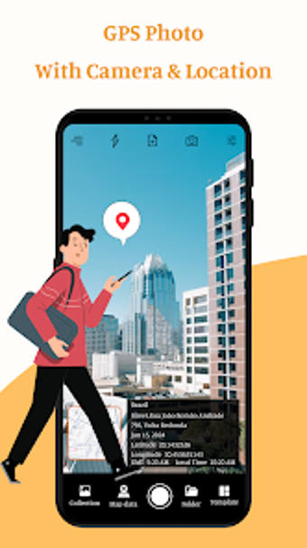
GPS Map Camera & Location is a versatile Android application designed for travelers and photography enthusiasts. This free app allows users to capture photos with precise location data, offering customizable camera settings such as grid options, flash control, and various filters. The photo map data feature enables automatic or manual tagging of images with location information, while a built-in QR code scanner adds convenience for sharing experiences.